Decoding the Sky: A Beginner's Guide to Cloud Types and What They Mean
2025-06-09
xants.net
Ever looked up at the sky and been mesmerized by the ever-changing shapes of clouds? They're more than just pretty formations; they're nature's storytellers, hinting at upcoming weather patterns and showcasing a fascinating interplay of science and beauty. This guide breaks down the most common cloud types – from delicate cirrus to towering cumulonimbus – and explains what each one reveals about the atmosphere.
The Dynamic Canvas Above
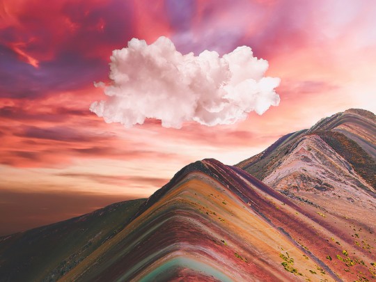
The sky isn't a static backdrop; it's a dynamic canvas painted with the ephemeral beauty of clouds. These formations, constantly shifting and evolving, have captivated humans for centuries. Whether it's the fluffy white cumulus on a sunny afternoon or the dark, ominous nimbus before a storm, clouds hold a unique power to inspire awe and wonder.Meet the Cloud Family: A Quick Guide
Let's explore some of the most common cloud types:- Cirrus Clouds: High-altitude, wispy clouds often composed of ice crystals. They're typically thin and white and can signal an approaching weather system. Think of them as the sky's gentle warning.
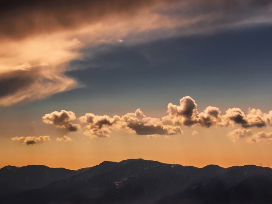
- Cumulus Clouds: The classic “cotton ball” clouds we all recognize. They form in the lower atmosphere on sunny days and can grow into impressive towers. While often associated with fair weather, they can transform into cumulonimbus clouds.
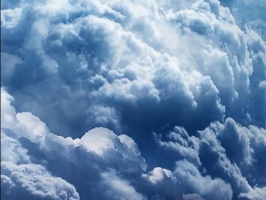
- Cumulonimbus Clouds: These are the giants of the cloud world – towering, dark, and often associated with thunderstorms, heavy rain, and even hail. They’re a dramatic display of atmospheric power.
- Stratus Clouds: Flat, gray, and featureless clouds that cover the entire sky, resembling a blanket. They often bring drizzle or light rain.
- Alto-Cumulus Clouds: Mid-level clouds appearing as white or gray patches, often arranged in sheets or layers. These can indicate a change in weather is on its way.
The Science Behind the Show
The formation of clouds is a beautiful example of physics in action. It all starts with water vapor rising into the atmosphere. As it ascends, it cools. Cool air holds less moisture, so the water vapor condenses around tiny particles – dust, pollen, or even salt – in the air. This condensation forms tiny water droplets or ice crystals. As more and more droplets or crystals come together, they become visible as clouds.Sunsets and Sky Colors
The vibrant colors we see during sunrise and sunset are also a result of this interaction. Sunlight is made up of all different colors. When the sun is low on the horizon, its light has to travel through more of the atmosphere. During this longer journey, shorter wavelengths of light (like blue) are scattered away, leaving the longer wavelengths (like red and orange) to reach our eyes. Clouds further scatter and reflect this light, creating the breathtaking displays we often witness.Look Up and Appreciate
Next time you find yourself gazing at the sky, take a moment to truly observe the clouds. Consider what they might be telling you about the weather. Appreciate the incredible forces of nature that create these ever-changing masterpieces above us. It’s a simple pleasure, but one that connects us to the larger world around us.ADVERTISEMENT
Recommendations
Recommendations

